Map Room
Hart County Industrial Sites:
Click any RED PIN or RED AREA to view information on that
site.
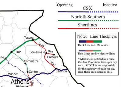
Hart County Rail:
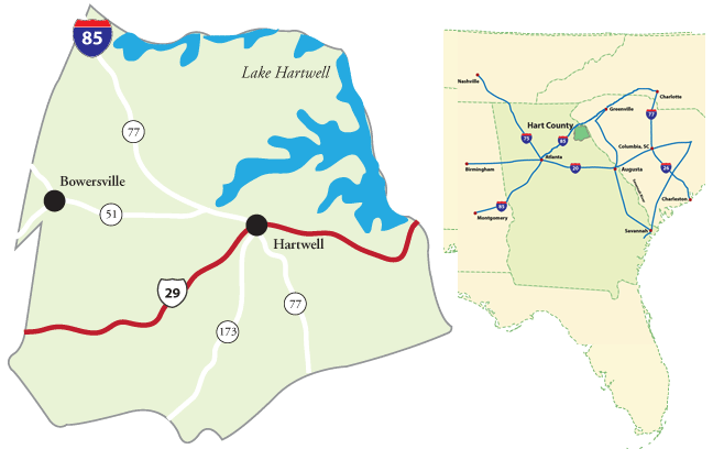
Hart County Overview Maps:
Click either map to download a printable, PDF version.
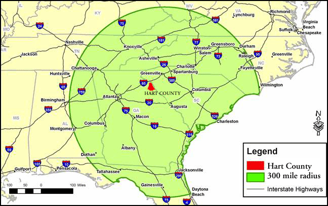
300 Mile Radius from Hart County:
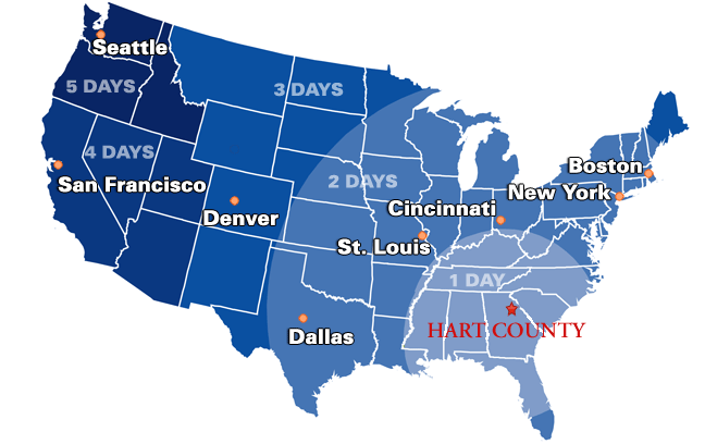
Hart County Driving Distances:
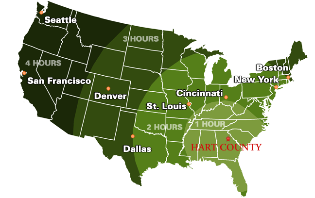
Hart County Air Travel Distances:
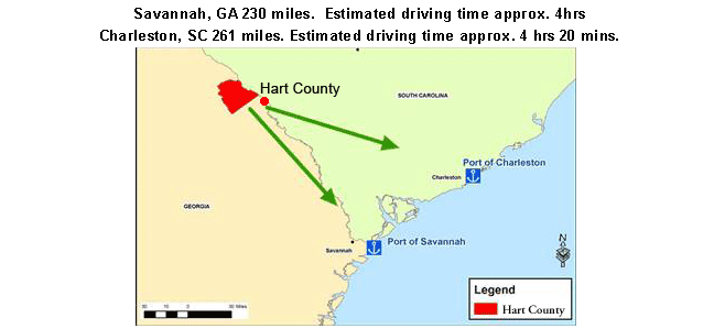
Distance to Ports:
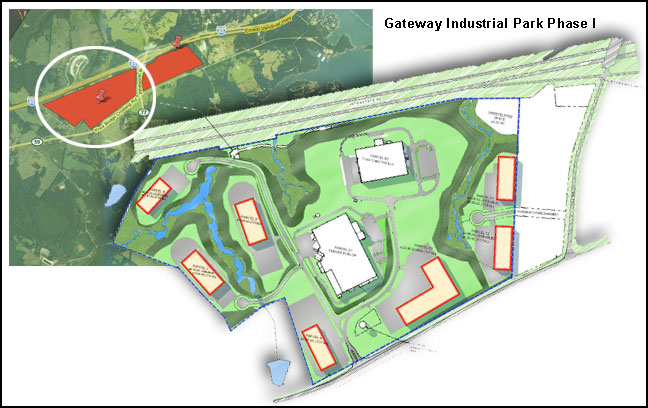
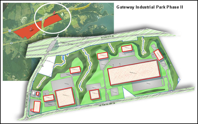
I-85 Gateway Industrial Parks:
Click to download larger PDFs